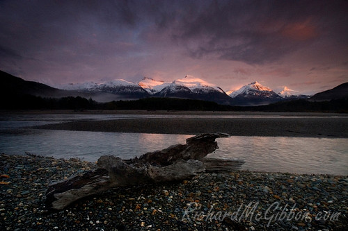
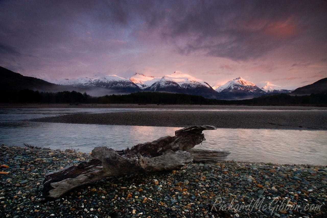
I have never been overly thrilled with the way my website displays my panoramas to you. They always seem to be lacking a lot of detail, skinny little pictures that don’t really do justice to the original shot. Today I came across a viewer that should be able to change all that. Above is my first test of the Seadragon Viewer from Microsoft. I would appreciate it if you could let me know if you have any problems using it. At the moment it is running through zoom.it a website that allows anyone to set it up.
What’s going on
South Curl Curl Rock Pool
Stormy weather off Sydney’s coast has stirred the water on the Northern Beaches bringing a large swell with it. I went down to South Curl Curl rock pool to get a few sunset shots but was unfortunately a bit late for the sunset. I got some shots of the waves swirling around the pool though in the fading light. The panorama is made up of 6 shots. The guys in the panorama were throwing themselves off the side of the pool and into passing waves to be swept off towards the beach.
- Stormy weather stirs the water around South Curl Curl rock pool on Sydney’s Northern Beaches.
- Stormy weather stirs the water around South Curl Curl Pool on Sydney’s Northern Beaches.
Barrington Tops World Heritage National Park
Barrington Tops National Park lies about three hours to the north of Sydney in the Hunter Valley, a region more famed for its wine growing. The park is on the World Heritage List as part of the Gondwana Rainforests of Australia. What makes the Gondwana Rainforests so special is that, according to fossil records, many of the species in the rainforests today existed on the Gondwana continent over 200 million years ago. The park has also been declared a Wilderness area and some of the rivers have been classed as Wild Rivers, meaning they are exceptionally pure and free of contaminants.
I spent a couple of days there in the south eastern section. Due to wet weather driving it wasn’t really possible for me to get too far into the park in my little city car. I stayed down near the Blue Gum Circuit and explored from there. The rainforest there is beautiful. There was a constant drizzle of rain and at times torrential rain but I wouldn’t have it any other way. Grey skies reduce the contrast and make for great photo opportunities inside a forest. One thing the rain did bring out though was an incredible amount of leeches. I have never seen so many before and it was near impossible to keep them off me. Whenever I stopped to take a picture they just seemed to launch themselves upon me. Somehow they even managed to get upon my face a couple of times.
Different sections of the park are supposedly completely different. The flora in the park varies from the rainforests through to alpine. In winter the high reaches of the park often get covered in snow. I certainly hope to get back there sometime soon, perhaps next time either better prepared for a longer walk or with a 4wd so I can get further into the park and experience some of the different sections.
- A small rural church just outside of the Barrington Tops National Park
- Looking along the road leading into Barrington Tops World Heritage National Park, Australia.
- The Williams River in Barrington Tops World Heritage National Park, Australia.
- A small stream deep in the rainforest of the Barrington Tops World Heritage National Park, Australia.
- A section of the hiking trail running through the rainforest inside Barrington Tops World Heritage National Park, Australia.
- Crystal pools section of Williams River inside Barrington Tops World Heritage National Park, Australia.
- Looking along the road leading into Barrington Tops World Heritage National Park, Australia.
- The Williams River flowing through the Barrington Tops World Heritage National Park
- A stream off the Williams River along the Blue Gum Circuit in Barrington Tops National Park.
- The Blue Gum Circuit walking track in Barrington Tops World Heritage National Park, Australia.
The Epson Panoramic Awards
I am very happy to announce that this week I won 2 Bronze awards in the Epson Panoramic Awards contest. One award was for Sunset on Long Reef Beach in the landscape category and the other of Northern Beaches in the urban category.
The contest is a worldwide contest with entries from over 60 countries. There is some beautiful entries and it is well worth a look through one of the galleries.
Damming Patagonia
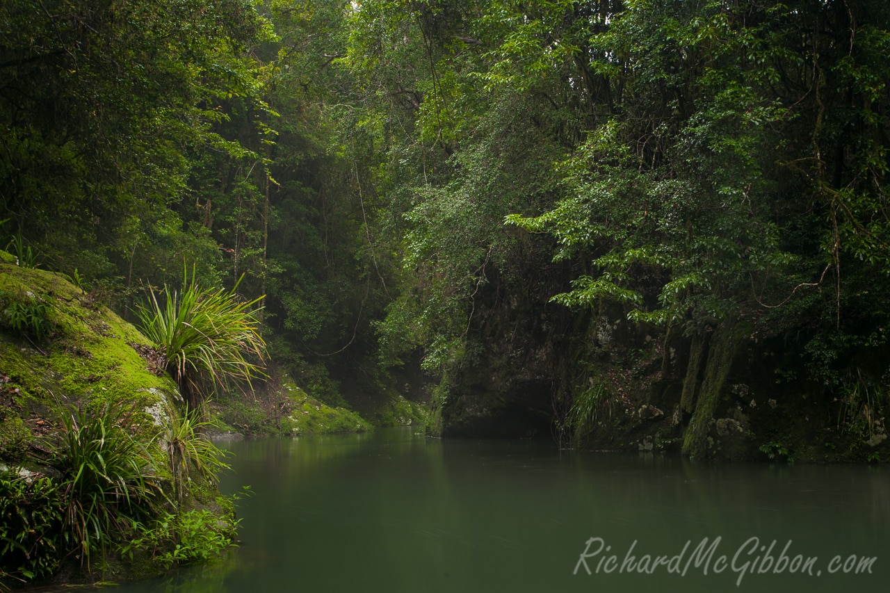
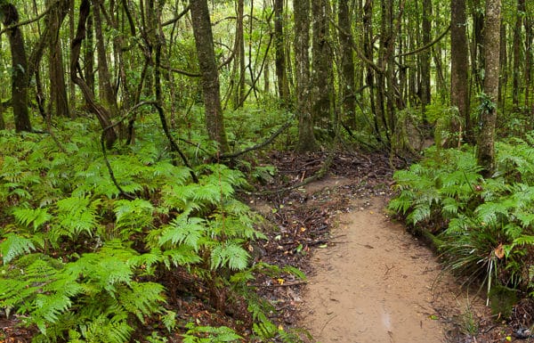
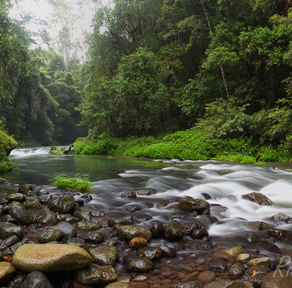
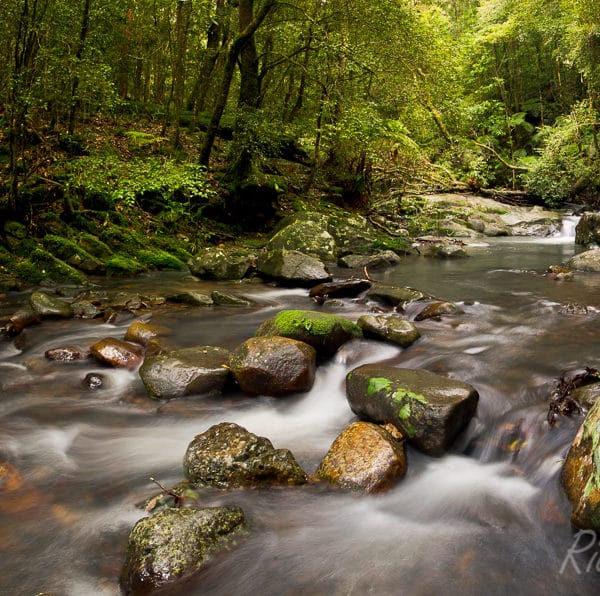
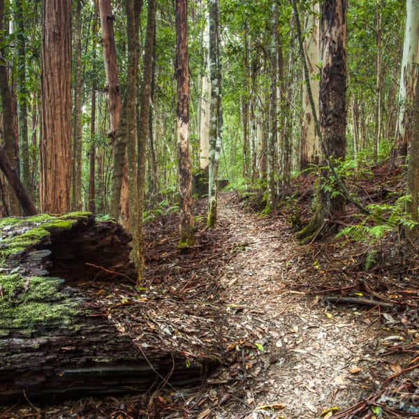
Imagine driving down a single-track unsealed road, the only road through around for miles. No cars, no traffic. In the snow-capped mountains above large glaciers spill from a hidden icecap, one of the largest expanses of ice on the planet. Temperate rainforests cover the mountains’ lower slopes punctuated only by waterfalls spilling off the cliffs above and crashing their way into the valleys below. In the valleys fast flowing rivers surge, their waters a delicate azure from the remains of glacial debris, make there way out into fjords spectacular enough to rival those of Norway or New Zealand.
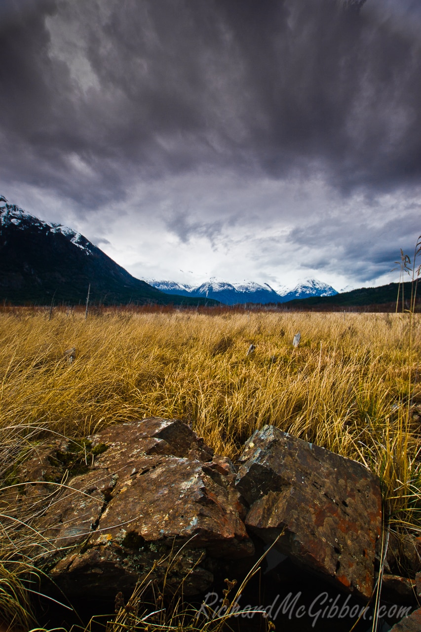
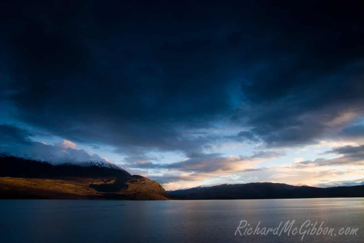
A few years ago I had the pleasure of being able to travel with a group of friends through southern Chile, just such an area. This is the side of Patagonia that few travellers get to see as it is so isolated and the infrastructure for travelling here really doesn‘t exist. I have always I ranked it as one my favourite destinations.
In the last few years the area has become the centre of a heated debate regarding the construction of five dams on two of the regions major rivers, the Rio Baker and the Rio Pascua. The plans also include a clear-cut strip running for 2200kms to the north as a corridor for the power lines. This clear-cut strip will be the longest on the planet and run through some of Chiles most scenic landscapes.
On the side supporting the construction is HidroAysen, a conglomerate who now own the water rights which were privatised back during the rule of Pinochet’s fascist government. In its bid to sell the dams to the public HidroAysen have started a new advertising campaign which some claim is a “terror campaign”. In the campaign HidroAysen claim that without the dams Chiles power grid will soon be unable to handle the demands being placed upon it and, as a result, the country “will be left in the dark”.
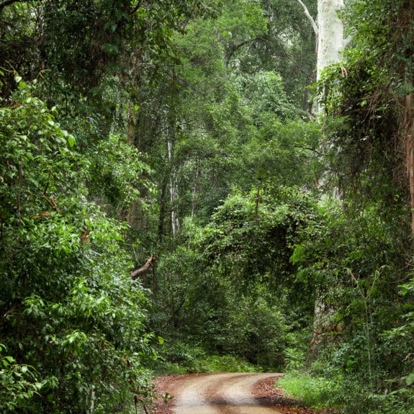
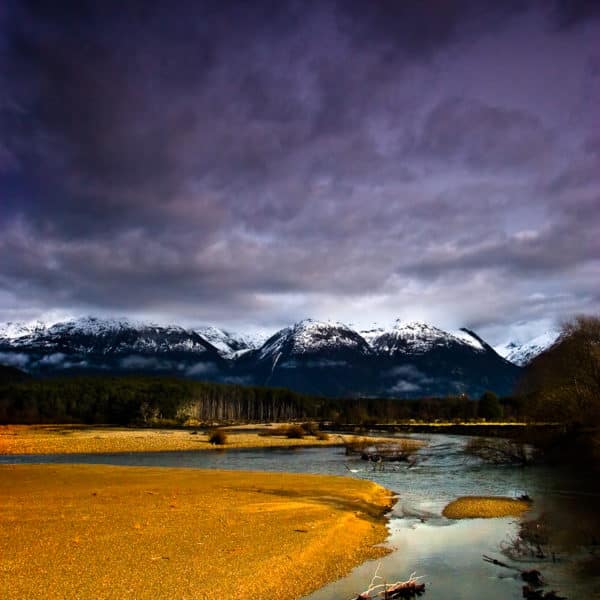
Opponents say Chile has plenty of energy projects coming on line to satisfy future demand. They also argue that the project will irreversably damage one of the world’s few remaining wild places. Recent polls hve shown that the majority of Chile’s population is opposed to the construction. A study into HydroAysen’s environmental impact report has found more than 3000 deficiencies with the report. These include a failure to map exactly what area the reservoirs will cover, insufficient data on the impact of the local flora and fauna including the critically endangered Huemul estimated at only 3000 remaining and ignoring data regarding the seismic risks to the dams despite the existence of numerous fault lines and other unstable geology in the region.
While it is true that Chile may be facing an upcoming energy crisis other less destructive options are available to it. Chile is a country situated on the Pacific Ring of Fire and as such is high in volcanic activity. The possibility for geothermal energy is huge throughout Chile. It is one of the cleanest sources of energy, easily harnessed and abundant. The upper six miles of the Earth’s crust contains 50,000 times as much energy as found in all the world’s oil and gas reserves combined. Factories for geothermal energy can be built on a small localised scale thus minimising the size of the area affected to make power and doing away with such large scale clear-cuts. Around 24 countries are now converting geothermal energy into electricity. El Salvador, another country on the Ring of Fire, leads the way making 26 percent of its electricity from geothermal power.

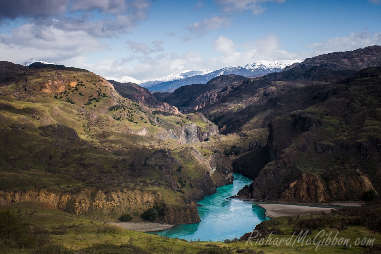
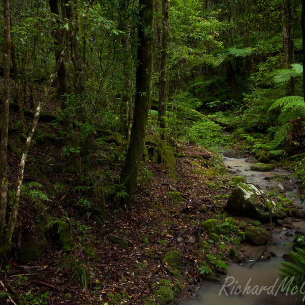
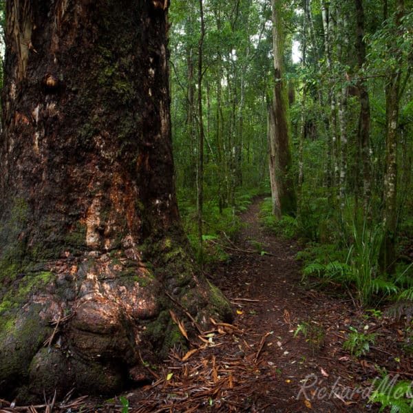
One of the beautiful landscapes that await travellers who get off the beaten track in Chile’s Patagonia
It would be a great shame and a great loss to the world if this region of pristine wilderness was to be damaged for the unnecessary construction of the five dams. The worlds wilderness areas are shrinking and becoming more like isolated pockets. At what point will the governments stop and think through all the alternatives and decide on what is best for the planet and not for the pockets. Hopefully not before all is lost.
More shots of Chile can be found here
Sources:
- NY Times
- Patagonia Sin Represas
- The Patagonia Times
- HidroAysen
- International Rivers
- Grist
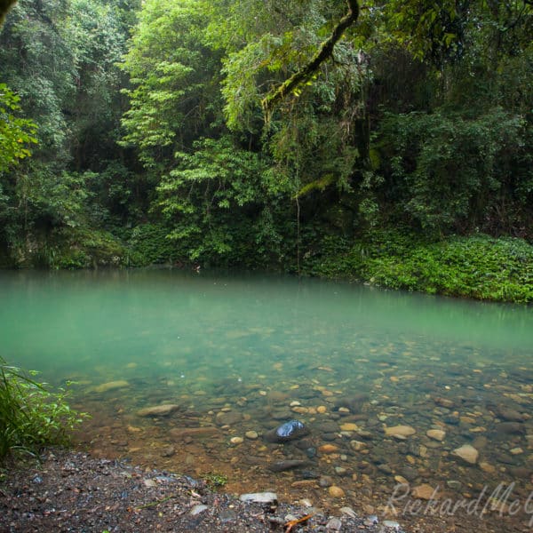
- The Rio Baker, Patagonia, Chile
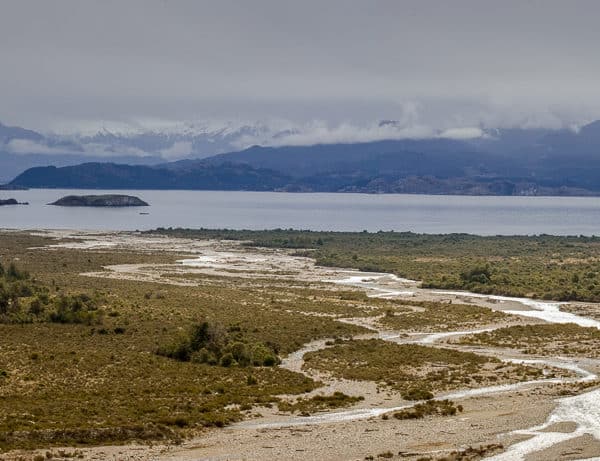
- A panoramic view across Lago General Carrera. Patagonia, Chile
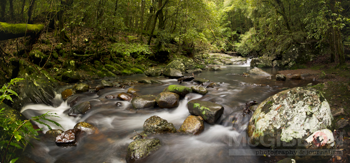
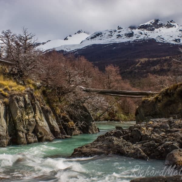
- A river crossing in the mountains around San Lorenzo, Patagonia, Chile
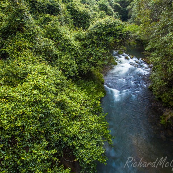
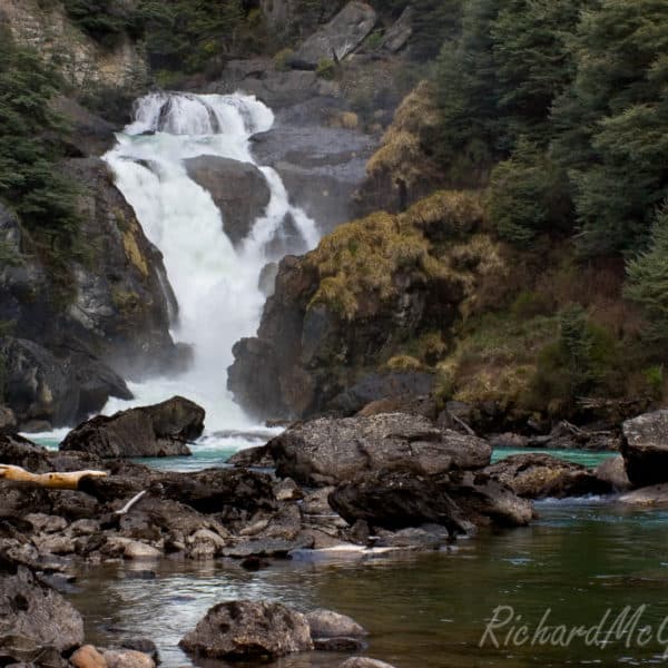
- A waterfall in the countryside around Cochrane in Southern Chile.
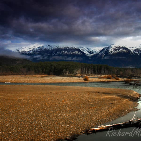
- Early morning by the Rio Baker in Southern Chile’s Patagonia
Turimetta Beach, Sydney, Australia
I recently visited the beautiful beach of Turimetta on Sydney’s Northern Beaches. It is not a beach that I had been to for a while but I think that I shall be heading there again very soon.
Turimetta beach lies between North Narrabeen beach and Warriewood beach on Sydney’s Northern Beaches. It is a beautiful little beach only a few hundred metres long. At the northern end a collection of boulders, fallen from the cliffs above, lay strewn about half in the water. I used to go surfing here quite a lot as a kid but hadn’t been here for some time now.
At the southern end of the beach lies a rock shelf which I intend to photograph on my next visit. I think this will have to be a sunrise shot which might make things a bit tougher knowing me and how much I love getting up that early.
- Sunset on Sydney’s Northern Beaches.
- Sunset snd boulders on Sydney’s Northern Beaches.
- Long exposure on Sydney’s Northern Beaches.
- Sunset at Turimetta Beach on Sydney’s Northern Beaches.


